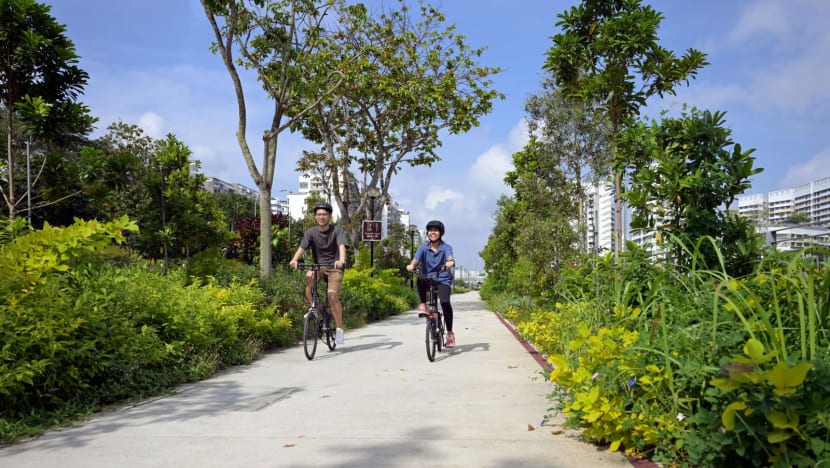
18km recreational route connecting East Coast Park to Pasir Ris Park completed
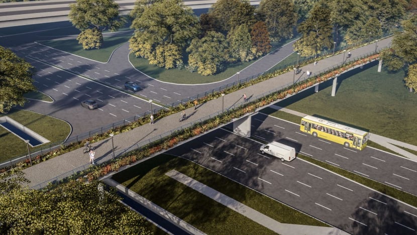
There are also plans to enhance the recreational experience along the eastern half of the Round Island Route with new cycling bridges, said NParks.

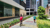
An aerial view of East Coast Park. With the completion of the 18km Eastern Corridor, users can travel between Pasir Ris Park and East Coast Park through Bedok Reservoir Park. (Photo: NParks)

This audio is generated by an AI tool.
SINGAPORE: Cyclists and joggers now have an additional recreational travel route with the completion of the 18km Eastern Corridor connecting East Coast Park to Pasir Ris Park.
The route, which goes through Bedok Reservoir Park, has been progressively opened since it was first announced in 2021, and its completion links several parks in the eastern part of Singapore, the National Parks Board (NParks) said in a media release on Saturday (Feb 17).
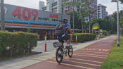
The 600m long Bedok Park Connector (Eastern Bank) is the newest addition to the route, which also features the recently completed park connectors along Tampines Avenue 9 and Tampines Avenue 10 totalling over 3.2 km.
As part of the project, two neighbourhood parks along the waterway of Bedok Park Connector (Eastern Bank) were upgraded with new shelters, playsets, fitness corners and community gardens.
Residents and visitors can enjoy bird watching at Tampines Eco Green and sports activities at East Coast Park, among other nature-based experiences, along the finished corridor.
Speaking at an event to mark the completion of the Eastern Corridor, Deputy Prime Minister and Coordinating Minister for Economic Policies Heng Swee Keat highlighted how the public can now walk, jog or cycle directly from Pasir Ris Park, through Bedok Reservoir Park, to East Coast Park.
Calling it a "joyous milestone", he said on Saturday: "By connecting the different parks in the East, this Eastern Corridor will also help to strengthen how we connect with nature, as well as with one another in our society.
"Through the Eastern Corridor, our residents can more easily access our green spaces and develop a deeper appreciation for the environment."
NEW CYCLING BRIDGES
NParks also said it will enhance the recreational experience along the eastern half of the Round Island Route.
Stretching over 75km, the eastern half of the route is currently Singapore’s longest recreational connection and plans are afoot to improve wayfinding with mapboards and directional signage to be put up.
Other planned initiatives include multi-tiered landscaping to provide shade and greenery, and the installation of marine tiles to attract biodiversity along the route.
Three new cycling bridges at Changi Beach Park and East Coast Park are also planned to improve the route's experience for visitors.
For example, the existing bridge across Fort Road at East Coast Park Area A will be replaced, with the new bridge set to be wider and feature more greenery.
Mr Heng said the planned improvements will make the route "even more accessible and memorable for residents".
When completed, the Round Island Route will be Singapore's longest recreational connection, stretching 150km, and is part of the NParks' "overall plans to curate a 360 km islandwide network of recreational routes by 2035".