Wetter and cooler conditions expected during Chinese New Year period

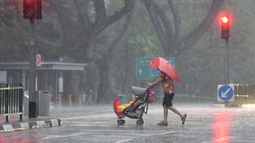
A person crosses the road with a pram during heavy rain in Singapore. (File photo: Jeremy Long)
SINGAPORE: Wetter and cooler conditions are expected in the second half of January, the Meteorological Service Singapore said on Monday (Jan 16).
The current north-east monsoon conditions are forecast to persist into the second half of the month, with low-level winds blowing from the northwest or northeast, the Met Service said in its fortnightly weather forecast.
Over the Chinese New Year period, the strengthening of a high-pressure system over North Asia could bring a surge of strong north-easterly winds over the South China Sea.
“The surge is likely to last for a few days and may bring cooler conditions with spells of showers over Singapore and the surrounding vicinity," the Met Service said.
"The rainy weather is likely to ease in the last week of the month with localised short-duration thundery showers to be expected in the afternoon.”
Overall, above-average rainfall can be expected for the second half of January and the total rainfall for this month is forecast to be near average over most parts of Singapore.
For the next two weeks, the daily temperature is forecast to range between 24 degrees Celsius and 32 degrees Celsius on most days.
On a few days, the daily maximum temperature may reach a high of around 33 degrees Celsius. Daily lows of between 22 degrees Celsius and 30 degrees Celsius can be expected for a few days because of the rainy weather during the monsoon surge period.
FIRST HALF OF JANUARY
In the first half of the month, Singapore experienced short-duration thundery showers, mostly in the afternoon, on several days, the Met Service said, adding that they were brought upon by strong solar heating of land areas coupled with localised convergence of winds.
There were fewer showers in the first half of January compared to the second half of December 2022.
The daily total rainfall of 47.4mm recorded around the Bedok North area on Jan 15 was the highest total rainfall in a day throughout the first two weeks of the month, said the Met Service.
It was also relatively cool in the first half of January, with only two days when the daily maximum temperature was higher than 34 degrees Celsius.
On Jan 8, the daily maximum temperature of 34.8 degrees Celsius, recorded at Paya Lebar, was the highest for the first fortnight of the month.
Daily minimum temperatures ranged between 23 and 24 degrees Celsius on most days. The lowest daily minimum temperature of 22.3 degrees Celsius was recorded at Sembawang on Jan 12.
Rainfall was also well below average during the first half of January.
The highest rainfall anomaly of 90 per cent below average was recorded at Bukit Panjang, while the lowest anomaly of 30 per cent below average was at Chai Chee.


